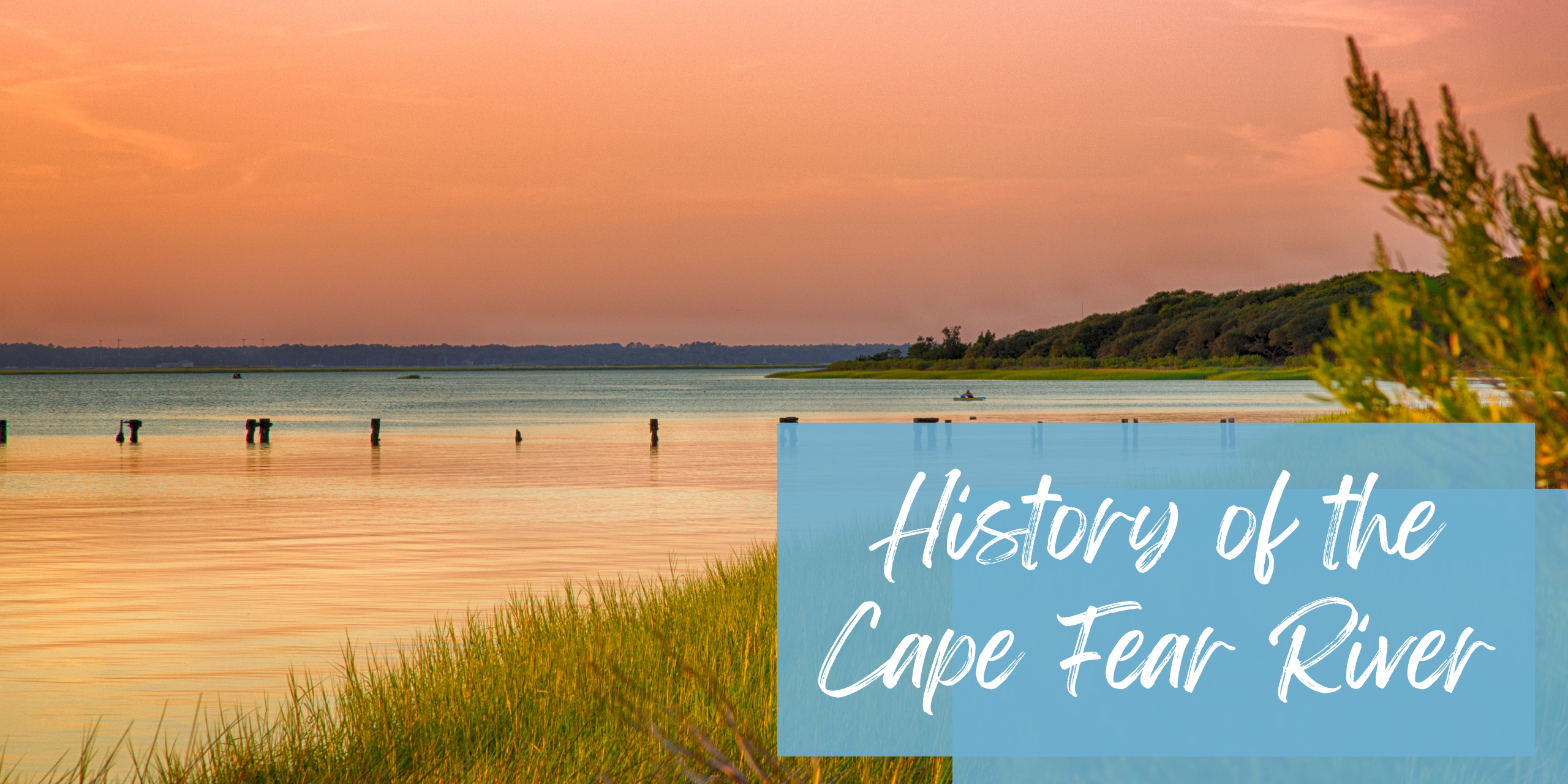
History of the Cape Fear River
A Geographical Icon
The mighty Cape Fear River has long been one of the geographical symbols of coastal North Carolina. Connecting parts of Harnett, Cumberland, Bladen, Columbus, Pender, Brunswick, and New Hanover Counties, the Cape Fear River has long been an important source of recreational and economical benefit for our local region. Even as early as the first explorations to the New World, the Cape Fear River has a storied history that has shaped the area around it.
The Colonial Days
Originally known as the “Rio Jordan” by Spanish explorers in the 1500s, the Cape Fear River spans 202 miles long and is one of the largest river basins in the state. In the early days of exploration, the mouth of the river was often surrounded by hostile native tribes, dangerous sand bars, and pirates. These dangers often made sailors who sailed these waters fearful of the area. To this day, the river bears the name “Cape Fear.” Regardless, the land around the river was the home of many early settlements by colonists. It was also a major artery that pioneers would use to travel further inland.
The First Cape Fear Communities
Once the river became an accepted and reliable trade route, towns began to spring up beside the river to take full advantage of the area’s natural resources. The largest of these is Wilmington, North Carolina. In Southeastern Brunswick County, there was also plenty of expansion. One of the first colonial settlements of the day includes Brunswick Town and the imposing Fort Johnston. The first fort was created in the 1700s to protect the mouth of the river. Boat pilots, traders, fishermen, and other small communities sprang up around the fort.
A Treasured Resource
During the American Civil War, both the Confederacy and the Union valued the Cape Fear River as a major supply line. Both forces fought against one another to take control of it, as they knew it would be one of the key strategic locations for winning the war. Fortifications such as the famous Fort Fisher were constructed to protect the river and keep precious trade lanes open.
Southport is Born
After the end of the American Civil War, forward-thinking businessmen and tradesmen desired to build a second port in addition to the one located in Wilmington
Though the town that resulted was never a major port, it was still a vital supply line for traveling steamships and a significant railroad system. As a result of that original plan, the town to this day keeps its original promotional name, Southport. And during the first and especially Second World War, the Cape Fear River became an important shipyard and shipbuilding location for the Allies.
Live the History for Yourself
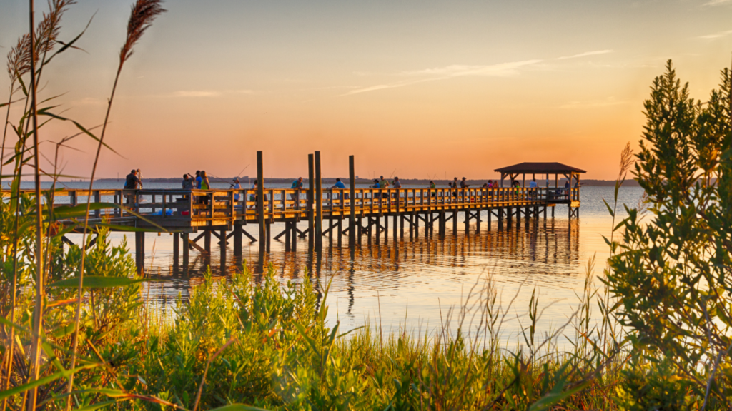
To this day, the Cape Fear River still provides our coastal communities with shipping, drinking water, utilities, and recreational value. This expansive waterway is just as important today as it was to colonial settlers, merchants, and explorers hundreds of years ago. The Cape Fear River isn’t just a famous natural landmark, it’s the cultural identity of an entire region. When living in communities like the Home Place of Southport, you’ll experience the Cape Fear region’s deep historical roots firsthand. That same history is a key reason why so many are proud to call the Cape Fear area home. Will you be the next ones to do so?